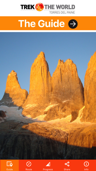


Torres Del Paine app for iPhone and iPad
Developer: World Adventure Guides LTD
First release : 10 Aug 2017
App size: 308.22 Mb
“Your guide and map in an App”.
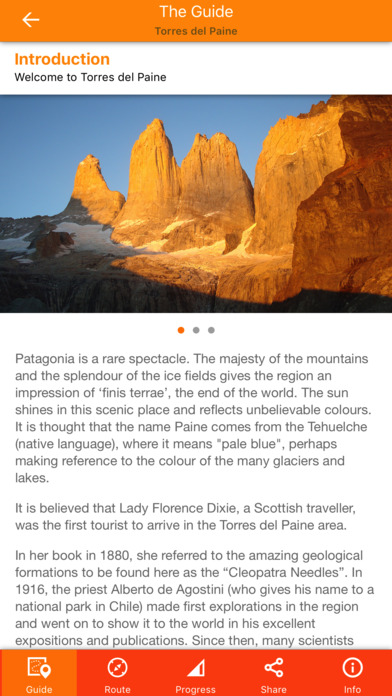
The trek round the Torres del Paine circuit is one of the most inspirational journeys in the world.
Whether you are going, or just thinking of going, on a trek to Torres del Paine World Adventure Guides has designed a fully interactive digital map and guide, with all the information you need.
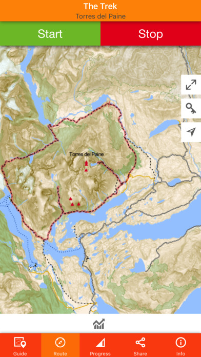
NEW GPS MAPPING
This brand new digital map of the Torres del Paine national park was created by Virginia Sanz, one of the authors of the book, based on a Garmin base map. The map works seamlessly, allowing you to see your location in relation to all the peaks and then zoom in to see more finel detail and enable you to see indivdual buildings. The map has been built from GPS source data and gives you the marked route from start to finish, accurate contour detail, a host of features, points of interest, altitude and more.
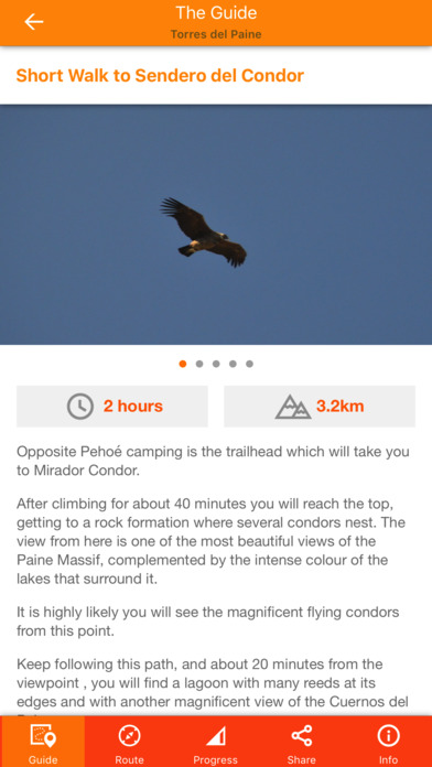
The app includes a detailed, day-by-day, suggested trekking itinerary, superb photographs, advice on equipment, acclimatisation and health, plus additional sections on Puerto Natales, culture, customs, wildlife, language, health, & more.
The is the second app in the ‘Trek the World’ series, put together with our partners, GEOCENTER, who live and work in Patagonia and have completed this journey many times.
The app will work anywhere, regardless of phone signal or internet connection, and find your location in seconds. Watch your location on the map and record your progress as you undertake the adventure of a lifetime on this historic and breathtaking trek.
If progress recording is switched on, the app will also record your progress when it is in the background or when your iPhones screen is locked.
(Continued use of GPS running in the background can dramatically decrease battery life.)
ITINERARY AND RECORD KEEPING
fully mapped day-by-day itinerary, accounting for safe ascent rates and acclimatisation
detailed day-by-day guidance notes
day-by-day timings and graphic route profiles
personal record keeping function: your progress tracked on the map as you go
statistics: altitude gained/lost; distance travelled; time taken
THE GUIDE
Not just a map! Easy access to extra information:
Points of interest along the way
Picture Galleries
Videos
Equipment list
Health & wellbeing information
Safe acclimatisation tips
Chilean culture, history, wildlife & religion
Puerto Natales
Top tips for trekking
Environmental issues
FAQs
SHARE YOUR PROGRESS
Post location updates to Facebook and Twitter.
NOW IT’S UP TO YOU
The highly experienced team who have created this app have designed it with the intention of helping you get the most from your trek, and stay safe. We hope it helps you enjoy being in the mountains as much as we do, and come back with tales of adventure and a thirst to get out and do more.
At World Adventure Guides we are committed to protecting and respecting the countries that we visit. We often work with local guides and porters to support them directly and a percentage of any profits will always go towards an environmental or cultural charity within the country that the App is created for.
More World Adventure Guides apps in the Trek the World series are in the pipeline. Coming soon:
Tour de Mont Blanc
The Great Glen Way
Annapurna Base Camp
The West Highland way
Manaslu